从卫星图看沙城的变化
怀来城乡总体规划吧
全部回复
仅看楼主
level 13
失落的龙骑士
楼主
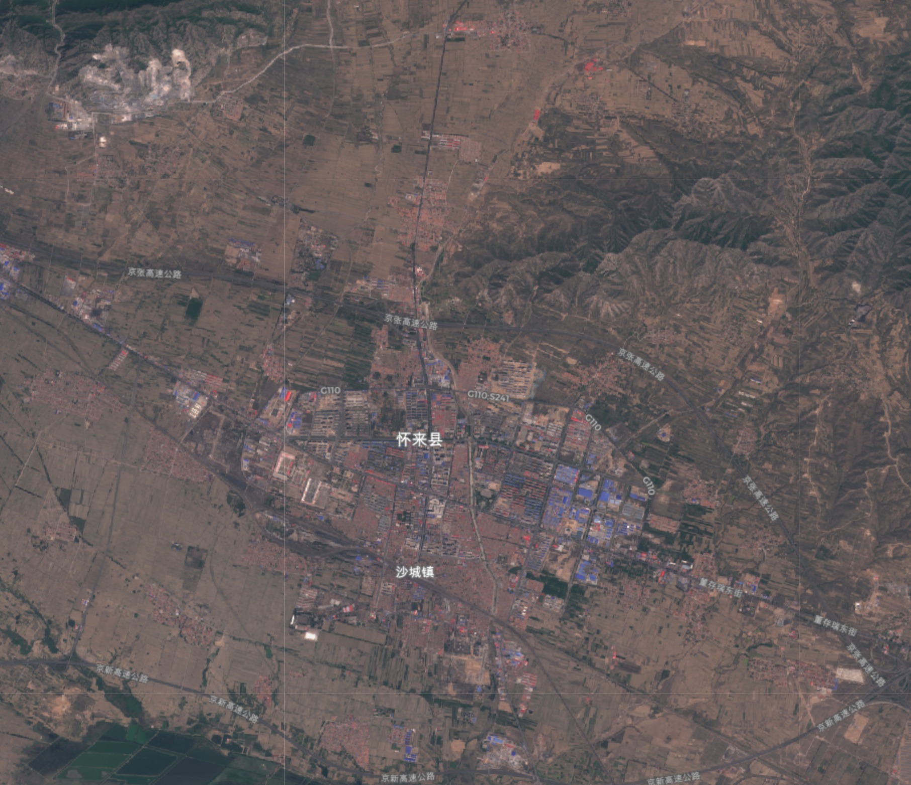
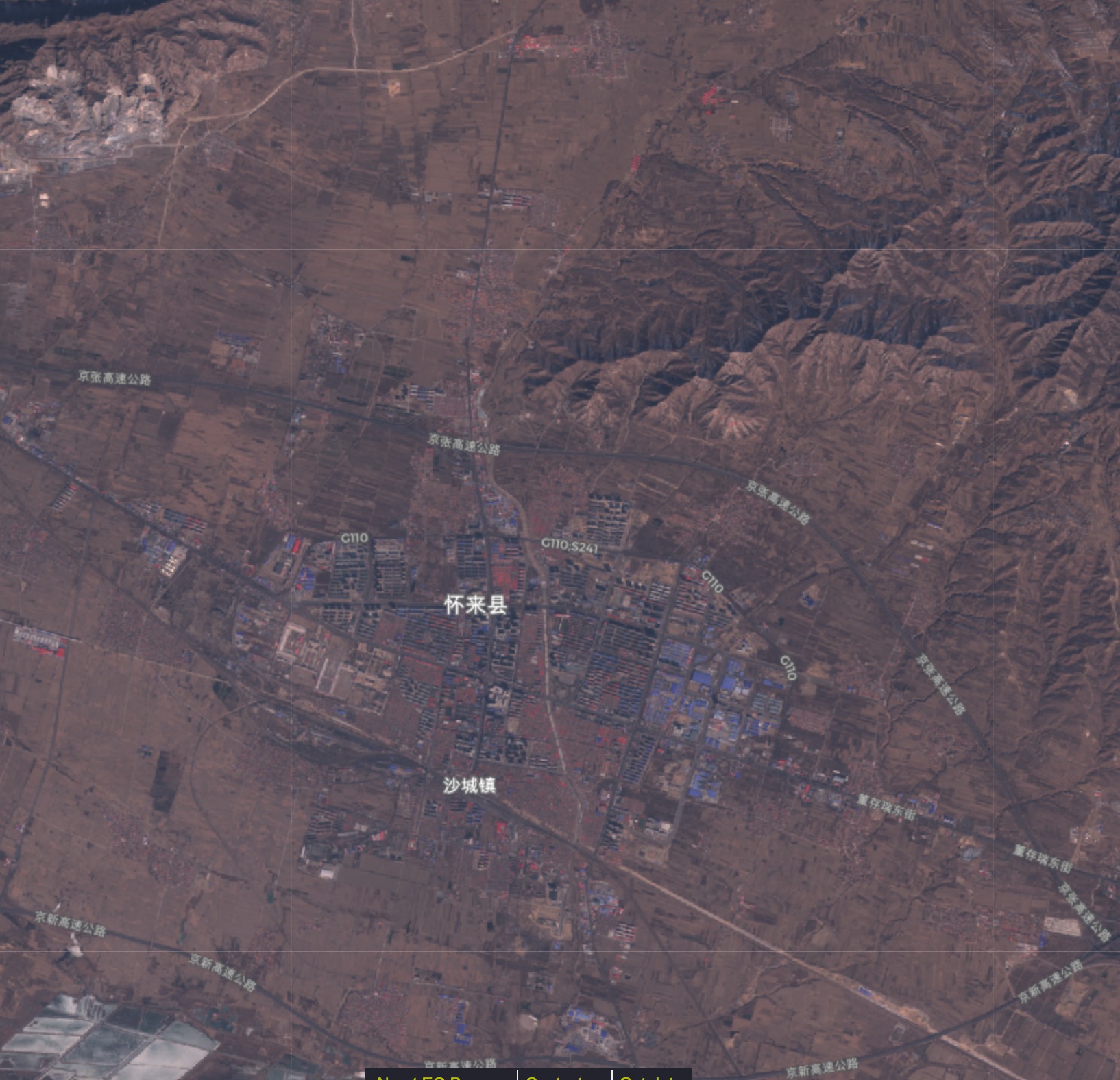
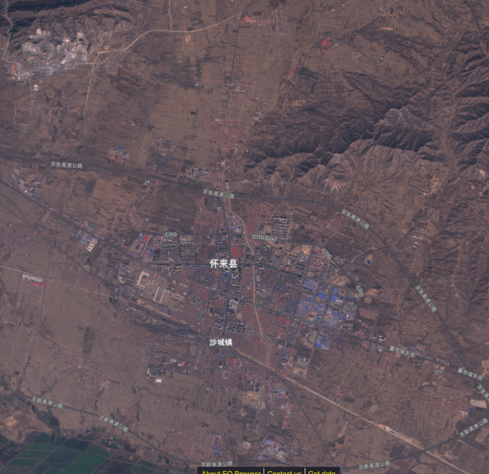
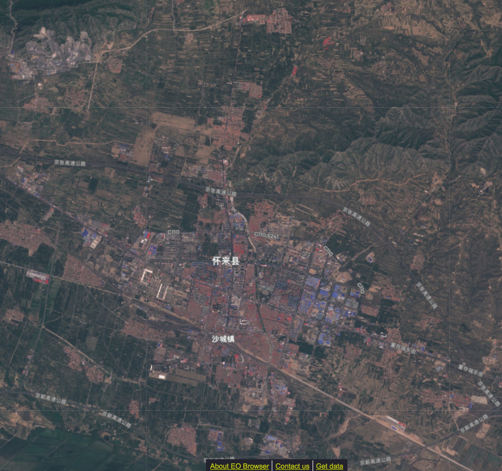
卫星图来源于Sentinel卫星,更新较及时,但是清晰度很差,无法看清细节,只能用来观察整体发展
从卫星图中可以大致看出西南环路的建设情况以及高铁站的建设进度
2018年08月14日 10点08分
1
level 13
失落的龙骑士
楼主
2016-05-03
2018年08月14日 10点08分
2
level 13
失落的龙骑士
楼主
2016-06-03
2018年08月14日 10点08分
3
level 13
失落的龙骑士
楼主
2016-07-02
2018年08月14日 10点08分
4
level 13
失落的龙骑士
楼主
2016-08-11
2018年08月14日 10点08分
5
level 13
失落的龙骑士
楼主
2016-09-30
2018年08月14日 10点08分
6
level 13
失落的龙骑士
楼主
2016-11-19
2018年08月14日 10点08分
7
level 13
失落的龙骑士
楼主
2016-12-19
2018年08月14日 10点08分
8
level 13
失落的龙骑士
楼主
2017-02-27
2018年08月14日 10点08分
9
level 13
失落的龙骑士
楼主
2017-03-29
2018年08月14日 10点08分
10
level 13
失落的龙骑士
楼主
2017-04-28
2018年08月14日 10点08分
11
level 13
失落的龙骑士
楼主
2017-05-28
2018年08月14日 10点08分
12
level 13
失落的龙骑士
楼主
2017-06-27
2018年08月14日 10点08分
13
level 13
失落的龙骑士
楼主
2017-07-17
2018年08月14日 10点08分
14
level 13
失落的龙骑士
楼主
2017-08-16
2018年08月14日 10点08分
15
1
2
3
4
尾页